

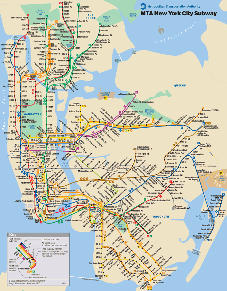
A couple weeks ago I had the opportunity to lead a number of Pre-Visit workshops at one of our Thinking Through Art partner schools to prepare students for their upcoming field trip to the museum. We often start a Pre-Visit with a familiar image, such as an image of the New York City Subway system map to show students where the Rubin Museum of Art is in relation to their school. After I facilitated a discussion with a Power Point presentations about Mandalas the students worked on a drawing activity. During the drawing activity a student glanced at my cheat-sheet print outs of the power point slides, then up at me and asked, Why isnt Rikers Island labeled on the Subway map? We investigated the map together and discussed his question for a moment and I suggested he write the MTA a letter asking them the same question. I then redirected him back to his drawing.
 This fleeting interaction stuck with me. It made me think about the importance of remembering that when we visit classrooms we are engaging with students for just a brief moment in their very full and complex lives.
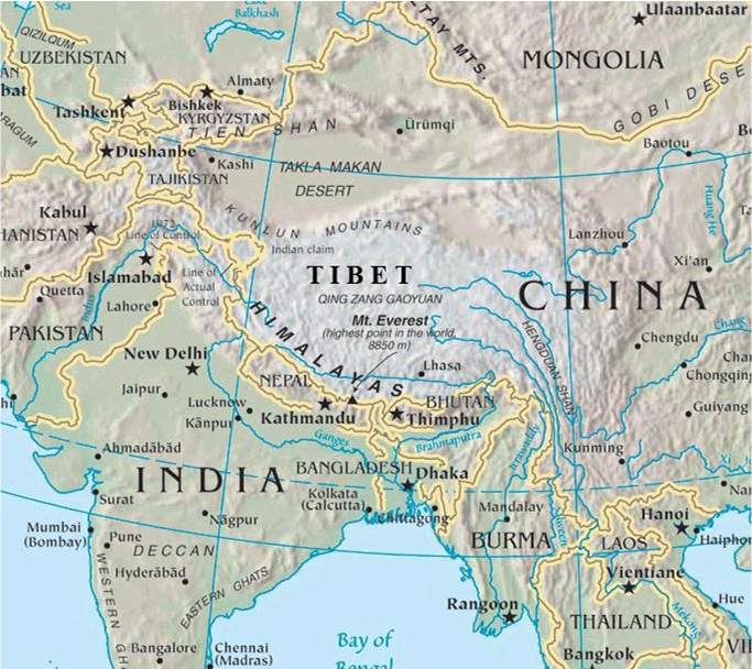
I also thought about the role of labeling on maps. Why do some things get labeled while other labels are omitted? When my colleague, David, developed the pre-visit power point presentation he could not find a clear map of the Himalayan region that had a label for Tibet, so he added it himself. If you look closely at the image below you can see that the font is different. What is included or omitted (or distorted) on maps, and why? That could be a year-long curriculum! Any takers?
3 Responses to What do you notice?