

I am fed up with flat maps. They just don’t provide the information I’m trying to convey. I’m always frustrated with their rainbow blobs defining borders. Young children often wonder if China, Chile, and Madagascar have something in common because they are all canary yellow. I’ve searched for globes covered with satellite images of our planet, and for large scale 3d topographic globes, but they are expensive and/or difficult to find. Over the past year my incredible intern Judy Yoon used her spare time between projects to create a large 3D topographic globe for our classroom.
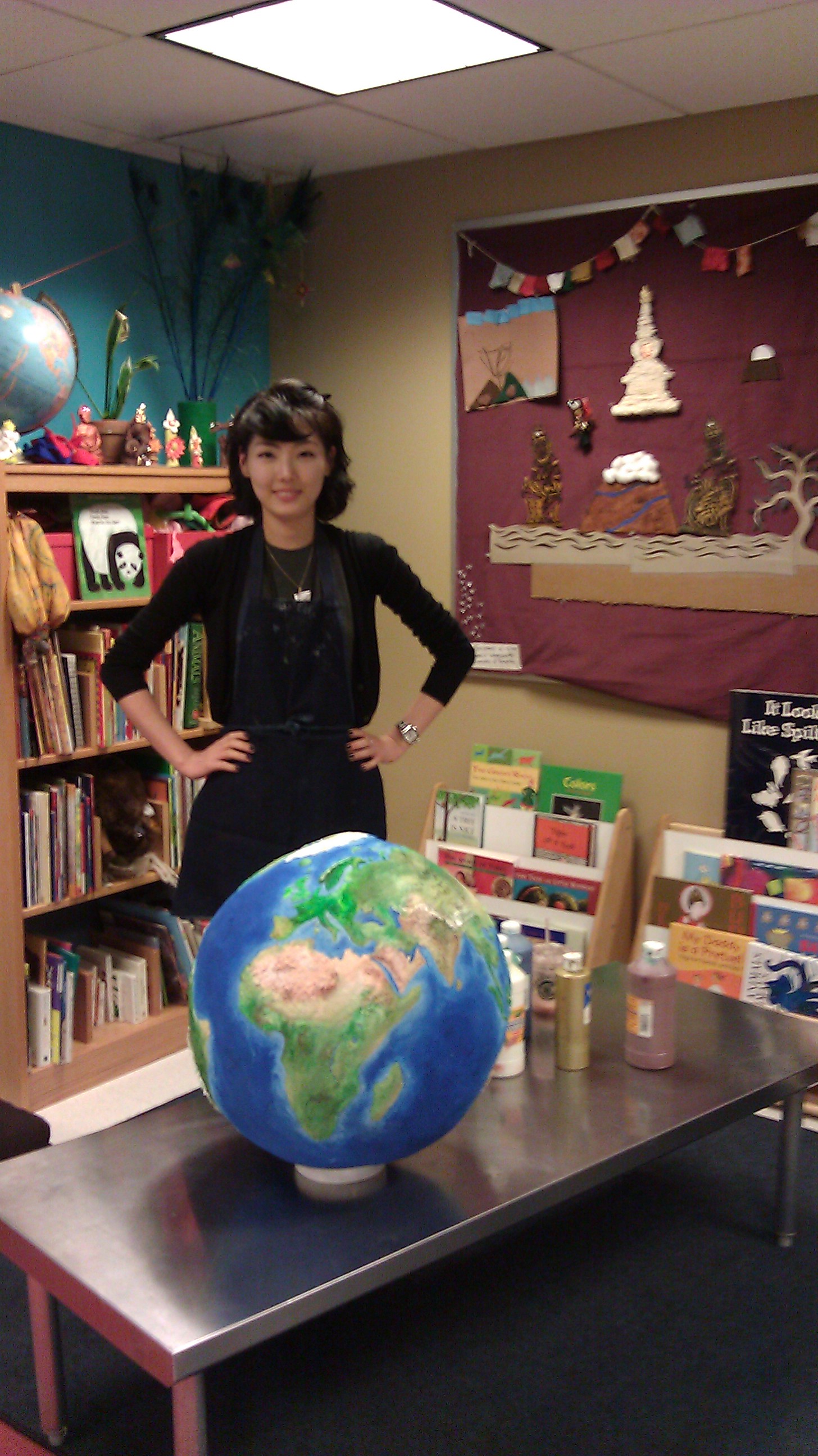
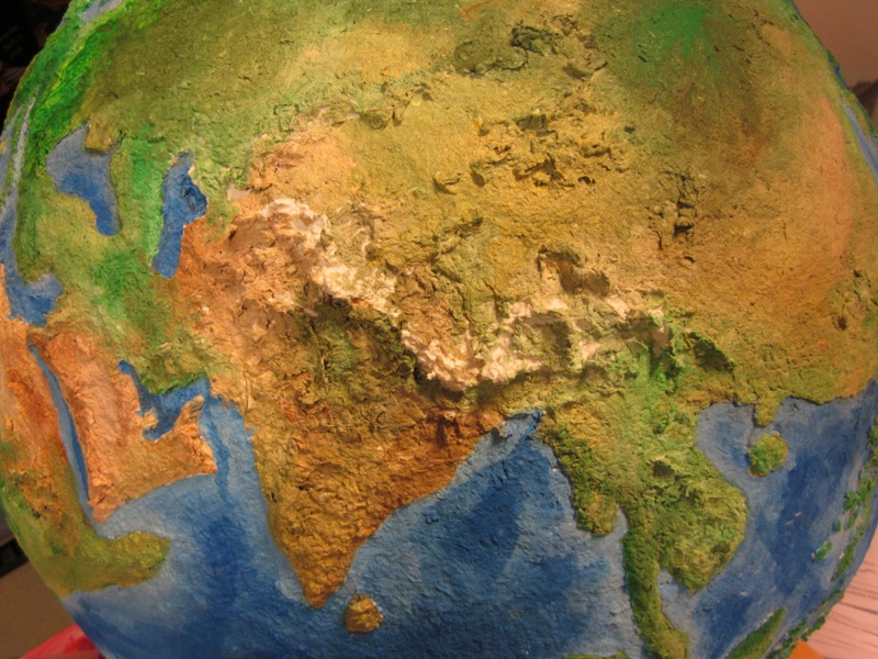
It’s hollow inside but still quite heavy. We still need to cover it with a lacquer to strengthen the paper mache surface. The Himalayas (our area of interest at the RMA is especially exciting, with it’s sharp mountains. Boy I’m excited to share it with the kids 🙂
One Response to Topographic Globe